
**********************************************

안데스 산맥: 남아메리카 대륙의 서해안 쪽에 위치하여 남북으로 길게 뻗은 산맥으로
베네수엘라, 콜롬비아, 에콰도르, 페루, 볼리비아, 칠레, 아르헨티나 등 7개국의 상당 부분에 걸쳐서 남북으로 총길이 약 7,000~7,500km에 걸쳐 길게 뻗어 있는 세계 최장의 산맥이다.
산맥의 동서간 폭은 200km ~ 700km 이다.
안데스 산맥 Andes Mountains
안데스 산맥 Cordillera de Los Andes


안데스 산맥은
베네수엘라·콜롬비아 산계와 에콰도르안데스·페루안데스·센트럴안데스· 파타고니아안데스 산맥 등 6개의 주요지역으로 나눌 수 있다.

* The highest mountains in Andes Mountains
안데스 산맥의 최고봉들
Aconcagua(6,961 m), Ojos del Salado(6,893 m), and Monte Pissis(6,792 m), Nevado Huascarán(6,768 m)
아콩카구아(6,961m) 오호스 델 살라도( 6,893 m) 몬테 피시스(6,792 m), 네바도 우아스카란(6,768 m)

Aconcagua(6,961 m)
Aconcagua seen from a commercial flight between Buenos Aires, Argentina, and Santiago de Chile in December 2016. In the background we also see the mountain Mercedario.
2016년 12월아르헨티나 부에노스 아이레스와 , 칠레의 산티애고 사이의 항공기에서 본 아콩카구아
*Cerro Mercedario (6,720 m) is the highest peak of the Cordillera de la Ramada range and the eighth-highest mountain of the Andes.


Ojos del Salado(6,893 m)
Ojos del Salado on the Argentina-Chile border, the world's highest volcano at 6,893 m
세계 제일 높은 화산, 아르헨티나-칠레 국경의 오호스 델 살라도( 6,893 m)


Monte Pissis(6,792 m)
Pissis from the Northeast
북동쪽에서 본 아르헨티나의 몬테 피시스(6,792 m)


Nevado Huascarán(6,768 m)
Huascarán as seen from Yungay
페루 융가이에서 본 네바도 우아스카란(6,768 m)
안데스 산맥은 남미대륙 서쪽을
북쪽의 마라카이보 호(湖)에서
남쪽의 티에라델푸에고까지
남아메리카 대륙 서쪽에 남북으로 길게 뻗어 있다. 지구상 가장 장엄한 지형으로 꼽힌다.
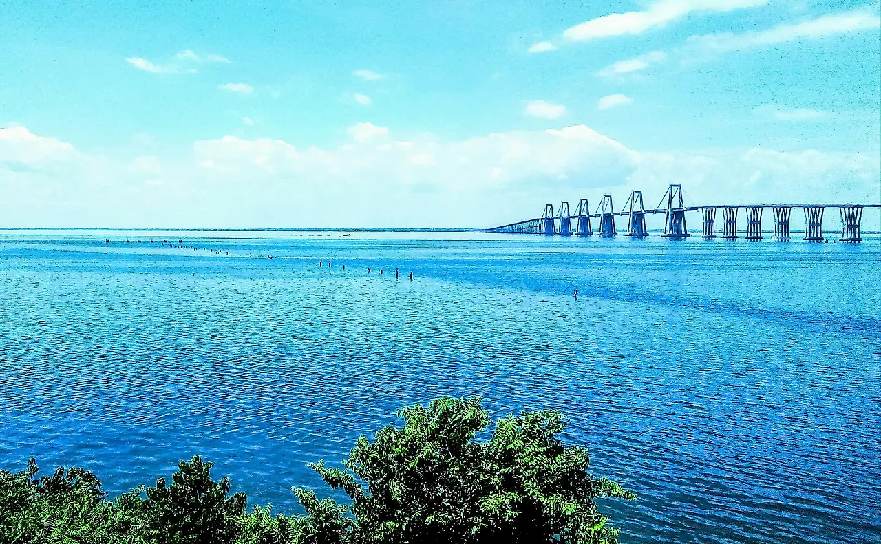
Lake Maracaibo 마라카이보 호(湖)


Lake Maracaibo (Spanish: Lago de Maracaibo) is a brackish lagoon located in northwestern Venezuela, between the states of Zulia, Trujillo, and Mérida. Hydrologically, it is a semi-enclosed bay off the coast of the Gulf of Venezuela. The lagoon is commonly considered a lake, though due to its current geological characteristics, it should not be considered as such.
베네수엘라 북서의 마라카이보 호수.
Tierra-del-Fuego 티에라델푸에고


Map-Patagonia-and-Tierra-del-Fuego
파타고니아-티에라 델 푸에고

Tierra del Fuego (/tiˈɛərə dɛl ˈfweɪɡoʊ/, Spanish: [ˈtjera ðel ˈfweɣo]; Spanish for "Land of Fire", rarely also Fireland in English) is an archipelago off the southernmost tip of the South American mainland, across the Strait of Magellan.
마젤란 해협 건너, 남미대륙 최극단 남쪽 끌의 캐이프 혼과 다도해-- 티에라 델 푸에고
티에라 델 푸에고는 칠레와 아르헨티나로 나뉜다. 우측으로 아르헨티나 바다~...영국령 포크랜드 섬이...
The archipelago consists of the main island, Isla Grande de Tierra del Fuego, with an area of 48,100 km2 (18,572 sq mi), and a group of many islands, including Cape Horn and Diego Ramírez Islands. Tierra del Fuego is divided between Chile and Argentina, with the latter controlling the eastern half of the main island and the former the western half plus the islands south of Beagle Channel and the southernmost islands. The southernmost extent of the archipelago is just north of latitude 56°S.
'Wonderful World' 카테고리의 다른 글
| Galápagos Islands (0) | 2023.11.19 |
|---|---|
| Galápagos Archipelago (0) | 2023.11.19 |
| 안데스 산맥의 지형과 동물과 높은 산들 (0) | 2023.11.18 |
| Fascinating Facts About the Andes Mountains (0) | 2023.11.18 |
| Andes Mountains / Cordillera de Los Andes (0) | 2023.11.18 |